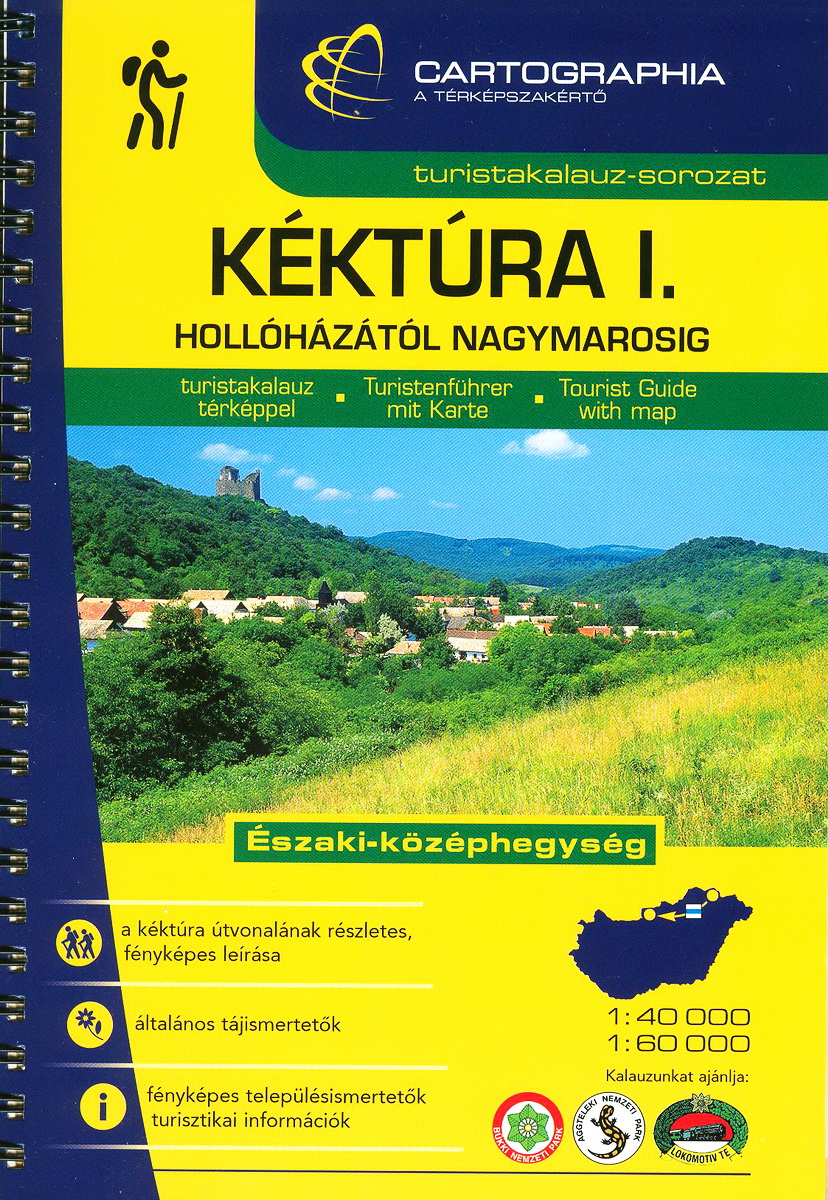
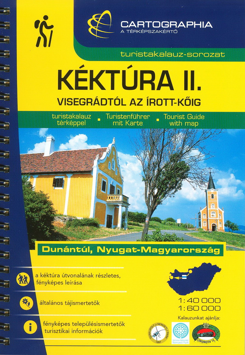
More publishers have hiker maps about the Hungarian regions and mountains, they cover almost the whole route of the National Blue Trail, but only the Cartographia Company has a special tourist guide about the National Blue Trail. This company publishes and distributes the two volumes of Blue Trail Tourist guidebook.
You can buy the maps on the Internet, its address is:
http://www.cartographia.hu/. You can find the maps of the Hungarian regions and the two volumes of the Tourist guide of the National Blue Trail (name on the books: Kéktúra I.-II.) here. The travelogues of the volumes are only in Hungarian, so you perhaps will not understand the text, but the maps of the books are very useful, because they show the whole route of the Trail in scale 1:40.000 (partly in 1:60.000).
Links to books in the webshop of Cartographia map company:
The second possibility is to buy the maps and travelogues in the shop of the Cartographia. The map shop is in the downtown of Budapest, its address is 37 Bajcsy-Zsilinszky út, Budapest. You can approach it by a five minutes long walk from the M3 underground station named “Arany János utca”.
You can buy the personal completion (validation) booklet of the Blue Trail in this shop, as well. You can collect the stamps of the National Blue Trail in this small booklet, and I think it is a very useful helpmate with its exact distance and elevation data.
I put here the photos of the newest version of tourist guides, but I will tell more information about the stamping later, in other chapter.


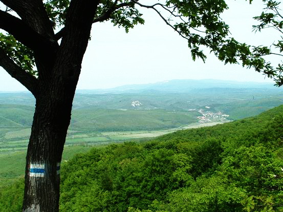
Painted signs on the ridge of Matra Mountains
The Hungarian hiker's paths are signed with painted trail marks. Their size is about 12 X 10 cm at the stripe marks, the size of the others is about 10 X 10 cm. Four colours are used: blue, red, green and yellow. The paths are signed in both directions. The work of the painters is good, if you can see the next mark from the previous one. The trail marks are painted more often at forking or crossing place of different signed paths. If the route of the paths is unambiguous - for example it goes on good dirt roads or in line cuts through the forest, you will find the marks more rarely.
Let's see now the different marks:
| Name: | Sign: | Written: | Description: |
| Stripes |     |
K, P, Z, S | These main signs cross whole mountains or regions in Hungary. They begin at those places, which are good accessible with public transport vehicles (train, coaches, etc.). Signs in the map: K (blue), P (red), Z (green) and S (yellow). |
| Crosses |     |
K+, P+, Z+, S+ | The paths are signed with this trail marks, begin at the route of the main signs and generally they offer some other possibilities parallel with the main route to reach your target. Signs in the map: K+ (blue cross), P+ (red cross), Z+ (green cross) and S+ (yellow cross). |
| Squares |     |
K□, P□, Z□, S□ | Their paths begin at the main trail markings and they lead to some populated places, tourist hostels or to the stop of public transport vehicles. Signs in the map: K□ (blue square), P□ (red square), Z□ (green square) and S□ (yellow square). |
| Triangles |     |
KΔ, PΔ, ZΔ, SΔ | These paths lead to the peaks of mountains or to other good lookout points. Signs in the map: KΔ (blue triangle), PΔ (red traingle), ZΔ (green triangle) and SΔ (yellow triangle). |
| Circles |     |
KO, PO, ZO, SO | These paths go to permanent, built springs. Signs in the map: KO (blue circle), PO (red circle), ZO (green circle) and SO (yellow circle). |
| Omegas |     |
KΩ, PΩ, ZΩ, SΩ | These signed paths go to caves or gorges. Signs in the map: KΩ (blue omega), PΩ (red omega), ZΩ (green omega) and SΩ (yellow omega). |
| Round tours |     |
KC, PC, ZC, SC | Their starting and finishing points are the same and they visit generally more sights from the paths of the main trail marks. Signs in the map: KC (blue round arrow), PC (red round arrow), ZC (green round arrow) and SC (yellow round arrow). |
| Ruins |     |
KL, PL, ZL, SL | The paths, which are signed with these trail marks, go to some ruined castles, monasteries or to other built sights from the main route. Signs in the map: KL (blue ruins), PL (red ruins), ZL (green ruins) an SL (yellow ruins). |
The above mentioned trail markings are used on the hiker paths. Unfortunately you will encounter with other trail markings in the forest, as well! These are mainly pilgrim routes, which connect the main Hungarian and other European pilgrimage places to each other, and there are shorter or longer thematic nature trails, which have own trail markings. You will cross ski paths in the taller mountains, which have different trail markings. This situation is a little bit chaotic, but the blue strip trail marking of the National Blue Trail will lead you reliably everywhere!
A few trail marking of pilgrimage routes:
 |
Szent Jakab pilgrimage route (Budapest - Lébény) |
 |
Szent Erzsébet pilgrimage route (Sárospatak - Kassa) |
 |
Gyöngyök útja pilgrimage route (Mátraverebély - Budapest - Mariazell) |
 |
Magyar Zarándokút pilgrimage route (Esztergom - Máriagyüd) |
 |
Mária Zarándokút pilgrimage route (Mariazell - Csíksomlyó) |
All of the paths are signed with red lines in the maps, and different characters show the colour and type of the path. This a very easy and clean thing, but many times the different signed routes use the same way! In this case you can find more signs on a tree, and more characters beside the red line of the path in the map. I show you a small map detail about the environs of Dobogókő, which is a well-known center of the different signed paths. Try to recognise the signing characters of the paths in it!

Map detail about the environs of Dobogókő
I would like to recommend two softwares, they can run on mobile phones under the Locus map. Both of them show the whole net of Hungarian hiker paths, of course together with the route of the National Blue Trail. The first is the Mapforge, its appearance is similar to the hiker maps, but it shows the the different paths with their original signs, de second one is the Openstreetmap, here the routes are marked with the characters, which are written above in the chart. Of course you can install them on hiker GPS, as well. You can download them from here:
| The name of the hosting provider: | Port Kft. |
| The postal address of the hosting provider: | 9200 Mosonmagyaróvár, Szent István király út 60. |
| E-mail address of the hosting provider: | info@webtar.hu |
| The name of the author and editor of the website: | Horváth Béla |
| E-mail address of the author and editor: | horvabe1959@gmail.com |
| The information on this website is true and complete to the best of the author's knowledge. All recommendations are made without guarantee on the part of the author. The author disclaims any liability in connection with the use of this information. | |
 Creative Commons license: Attribution-NonCommercial-NoDerivatives 4.0 International Creative Commons license: Attribution-NonCommercial-NoDerivatives 4.0 International | |
| Please read the Cookie Policy of this website! It contains important information! | |
